
Tracing Wheat Ridge Previous Residents Sources
The backward trail for previous residents needs sources from several eras. Wheat Ridge incorporated in 1969, but Jefferson County land and administrative records are older. City permit files begin with incorporation and change systems over time. Directory and newspaper collections reach farther back, while census schedules use county and rural-place labels before the city existed. The table sets each source beside the kind of clue it can provide.
| Source | Years it covers | Where held | What it shows |
|---|---|---|---|
| Assessor property roll | Current roll and history | Jefferson County | Owner, parcel, mailing and situs, value, sales |
| Recorder and deed index | Current public index; start year not shown | Clerk and Recorder | Grantor, grantee, date, reception number, deed type |
| Wheat Ridge permit records | From 1969; later era splits | City archive and Building Division | Permits, inspections, plans, occupancy |
| City directories | 1866 to 1981 microfilm; later reference | Denver Public Library | Name, address, occupation, telephone clues |
| Householder directories | 1924 to 2018; digital 1924 to 1937 | DPL | Address to occupant line |
| Newspapers and obituaries | 1913 to 2016 index; local runs vary | Libraries and archives | Family, move, death, civic and address clues |
| Census schedules | 1900 to 1950 public now | NARA, FamilySearch, libraries | Household structure and place label |
| Sanborn and fire maps | Colorado collections 1883 to the 1970s | DPL and LOC | Building footprint, materials, use, hydrants |
No one source covers all previous residents. Treat ownership, occupancy, family presence, and structure dates as separate threads that meet at the parcel.
Wheat Ridge Records for Previous Residents
Start with the current Jefferson County Assessor card rather than a person name. Record the PIN, AIN, property address, city, postal code, owner, mailing address, neighborhood, subdivision, legal description, and history or sales document number. The mailing address may be outside Wheat Ridge, and the public parcel card is not a complete list of people at the property. The legal description is the bridge that keeps an older deed tied to the same land when the street number changes.
If a street search fails, try the subdivision, owner, PIN, AIN, tax district, document or instrument number, or map identifier. A plat can connect the current address to lot and block. Use the City Hall parcel as a safe model when learning the portal, not a private household record.
Wheat Ridge Past Resident Deed Chain
A deed chain moves from the current transfer to the earlier seller, then to the seller before that. The Jefferson County Aumentum index can supply a grantor, grantee, recording date, reception number, deed type, and legal-description clue. The image is a separate order step. Use the recorder's copy form when the legal description, signature, consideration, easement, lien, or transfer language matters.
- Copy the current Assessor owner, PIN, AIN, legal description, and history document number.
- Search the recorder index for the current purchase or transfer and record both parties, date, reception number, and deed type.
- Search the seller as an earlier grantee, using the legal description instead of only the street address.
- Repeat through earlier transfers, reconciling trusts, estates, corporate names, married names, subdivisions, and rural descriptions.
- When the online index or image ends, use the Recording Division counter, copy form, Archives, or a focused request.
At each step, keep the source date and document number beside the party names. That small audit trail makes a repeated transfer easier to distinguish from a same-name record.
- Chain of title
- A linked sequence of recorded transfers that follows an interest in the same parcel.
- Legal description
- The land identifier used by deeds and plats, such as lot, block, tract, section, township, and range.
- Grantor and grantee
- The transferring and receiving parties named in a recorded instrument.
Note: The deed chain identifies transfers, not every person who occupied the structure between two recording dates.
Wheat Ridge Past Resident Deed Trail Gaps
The current public Aumentum portal did not expose a verified online start year or complete cutoff in the inspected text. That is a real research gap. Do not fill it with an invented date. When a prior owner does not appear, test the party name, subdivision, legal description, reception number, county Archives finding aid, and Recording Division counter. The Jefferson County document-copy route accepts grantor or grantee, recording date, reception number, copy type, and return contact.
Index information is free when available. Paper and certified copies follow the county schedule, and large-format plats have their own copy path. A copy request can be mailed with payment and a self-addressed stamped envelope. A narrow request that names the parcel, record type, and date span is easier to route than a broad request for every file tied to a street.
Wheat Ridge Householder Directories
Householder and criss-cross directories fill the main gap in previous residents research: the difference between owner and occupant. Denver Public Library's reference run covers 1924 to 2018, with a digital run from 1924 to 1937. Start with the old address, read the listed person, and compare nearby years. Then use suburban Polk volumes and name directories to add occupation, spouse notation, institution, business, or telephone clues.
Use the street number, street type, side of street, and abbreviation key. A missing entry can reflect a volume gap, an address change, a rural-route label, or a different locality heading. Search Wheat Ridge, Wheat-ridge, Jefferson County, Berkeley, school names, and nearby place labels before deciding that a household disappeared.
The Denver Public Library householder directory collection is the source for the address-arranged run. The capture below shows the historic reverse-directory route.
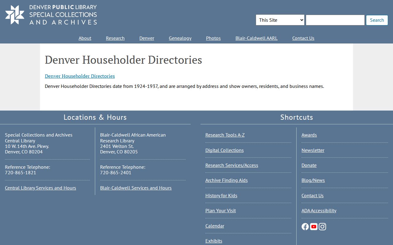
This householder image belongs beside the deed chain. It can supply an occupant line where the recorder names only a party to a transfer.
Wheat Ridge Permit Records for Past Residents
Wheat Ridge building permits help date the structure and its changes. The city says permit records have been maintained since incorporation in 1969. Laserfiche address folders cover later material, the old ADG portal handles 2000 through 2024, and OpenGov handles 2025-forward records by Location or Record number. Older paper or microfilm-like files may be viewed by appointment with the Building Division.
A permit can show an applicant, contractor, inspection result, plan, certificate of occupancy, correction, or project date. It does not prove that the applicant lived at the address. Pair a permit date with the Assessor parcel, deed chain, directory line, or newspaper notice.
Wheat Ridge Past Resident Sanborn Context
Sanborn and fire-insurance maps can show how a building stood at a past date. Colorado collections at Denver Public Library reach from 1883 through the 1970s, with print, microfilm, or related access roughly through 1951. Map symbols can show footprints, materials, floors, hydrants, water lines, and use labels. The research did not confirm a direct Wheat Ridge map run, so nearby Denver or Golden sheets must be labeled as regional context rather than a parcel map.
Use the map to understand an address, then return to deeds, permits, directories, and plats for names and legal identity. A map can date a structure or show a use while leaving the household question open.
The Denver Public Library Colorado fire-insurance map collection is the regional source shown here.
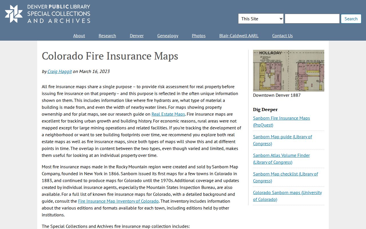
This map image supplies building-history context. It should not be presented as a confirmed Wheat Ridge street map when the direct run is not located.
The Library of Congress Sanborn guide explains map search and public-domain access.
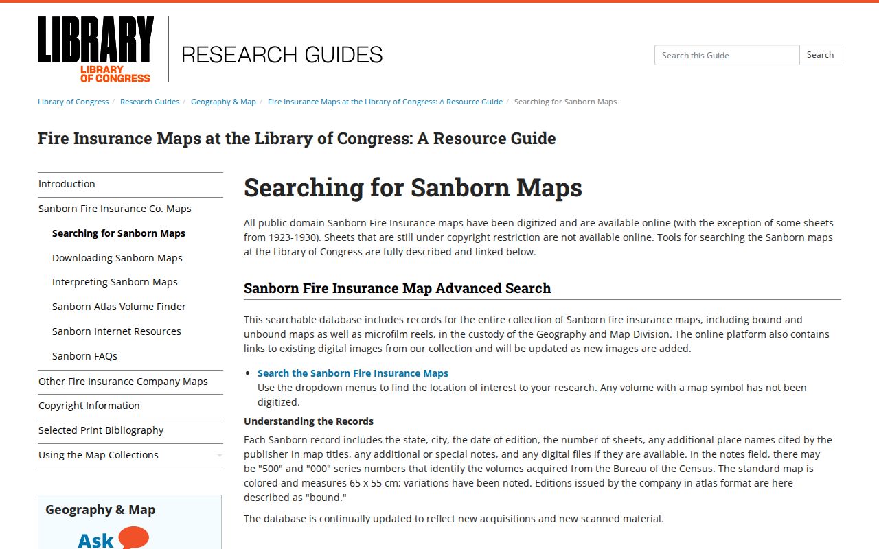
The guide image helps decode map symbols before a researcher compares a building footprint with a Wheat Ridge parcel record.
Wheat Ridge Past Resident Census Endpoints
Census schedules add household structure to a previous residents search. As of August 18, 2026, the 1950 census is public under the 72-year release rule. Older Wheat Ridge-area people may be indexed under Jefferson County, a precinct or township, Denver suburban labels, or rural places because the city did not yet exist. Use the directory address as a bridge, then check names, ages, occupations, relatives, and place labels.
Obituaries and cemetery records can close a trail. The DPL obituary index covers 1913 to 2016, while the Wheat Ridge Sentinel microfilm run covers 1981 to 1994. Crown Hill's 1900 to 1950 collection provides burial, birth-place, and birth-year clues. Probate and recorded transfers can identify heirs or the next owner when a household changes.
Wheat Ridge Street Clues for Past Residents
Wheat Ridge addressing follows the Denver Metropolitan system, with north and south references from Ellsworth and east and west references from Broadway. Major blocks use 0 to 99 spacing, odd numbers generally fall west or north, and even numbers east or south. Primary access controls an assigned number. The city can readdress when a number is out of sequence, has wrong parity, misleads emergency services, duplicates another number, follows a street move or renaming, or changes through subdivision design.
A dated city-wide historic renumbering project was not located. Use current code, the Planner of the Day, subdivision plats, legal descriptions, and the parcel map to test an old number. Keep the old form in the research note so a previous residents search can find the same property under both labels.
Wheat Ridge Past Households
Previous residents are best documented as a layered house history. The deed chain identifies owners, the criss-cross directory identifies listed occupants, the permit file dates changes, the census describes a household, and an obituary or probate file may explain an ending. A commercial compilation may offer a lead, but it can merge names and stale addresses. Check every lead against the office or collection that created it.
Lawful house history. Use a past-residents search for family history, preservation, estate research, or a lawful effort to reconnect. Do not use address records to stalk, harass, intimidate, or harm another person.
The current owner trail belongs with the Wheat Ridge street and address records, while the directory collections themselves belong with the city directory page. Keeping those roles distinct makes a previous residents result more honest and easier to verify.