
How Wheat Ridge ZIP Code Routing Works
The two destination values in the Wheat Ridge ZIP code directory should be read as routing clues, not as a resident roll. The 2025 USPS Postal Bulletin lists 80033 and 80034 with Wheat Ridge labeling. The current Wheat Ridge Post Office is associated with 4210 Wadsworth Boulevard and ZIP 80033. Exact street ranges and a dated split history were not exposed in the unattended USPS material, so a specific parcel still needs a full-address check.
| ZIP | Areas or city label | Post office evidence | Research note |
|---|---|---|---|
| 80033 | Wheat Ridge destination addresses | Wheat Ridge Post Office, 4210 Wadsworth Boulevard | Primary local value in the City Hall sample; verify by address |
| 80034 | Wheat Ridge destination ZIP in USPS tables | USPS bulletin lists Wheat Ridge labeling | Separate current retail station was not located; check the street |
| 80212 | Nearby postal value used by a Wheat Ridge institution | Wheat Ridge Library address | Shows postal and civil geography can differ |
| 80214 and 80215 | Nearby values observed in county systems | Address-specific routing needed | Do not describe as Wheat Ridge civil ZIPs without USPS verification |
The postal directory therefore keeps 80033 and 80034 as the Wheat Ridge-serving destination pair while marking nearby values as address-level questions. Preserve the postal city, ZIP, civil city, county, and parcel ID as separate fields.
Verify Wheat Ridge ZIP Records by Address
USPS offers three useful lookup modes: by full address, by city and state, and from ZIP to cities. For a Wheat Ridge property, use the full address first. A ZIP result can route mail without proving that a person or business is at that location, and the USPS page carries that warning. Keep the exact street spelling and unit as entered so a later property or directory search can be repeated.
After the postal result, compare the address with Jefferson County GIS and the Assessor City field. If the civil city differs from the postal city, do not force one value to replace the other. A postal entry should carry both. Use the parcel's legal description for a deed or plat and the postal value for mail-based forms.
The USPS ZIP Code Lookup is the official address check. The manifest capture below shows the public lookup surface used before comparing the county record.
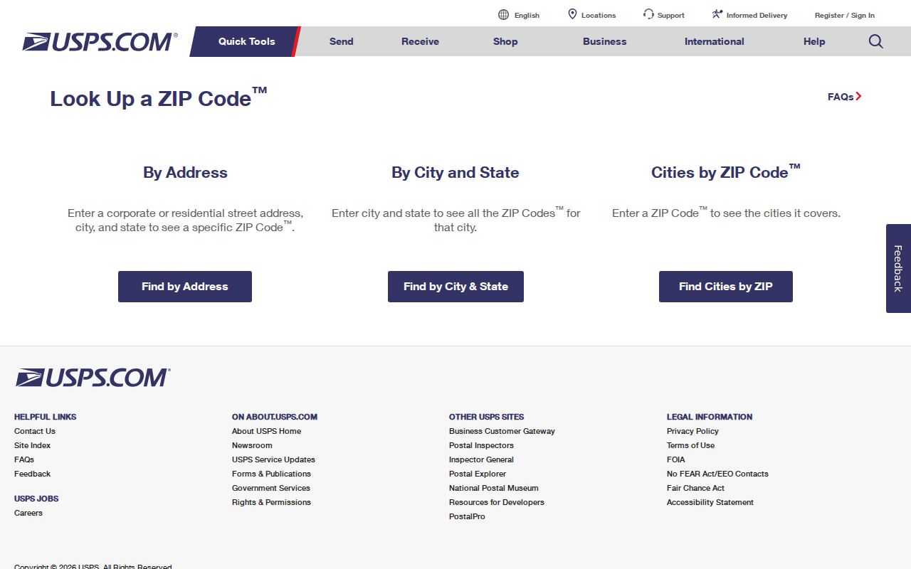
This USPS image is a routing reference. A result still needs a parcel and civil-boundary check when the research question concerns Wheat Ridge itself.
Wheat Ridge ZIP Records for 80033
The 80033 value has a concrete local anchor in the Wheat Ridge Post Office listing at 4210 Wadsworth Boulevard, Wheat Ridge, CO 80033-9998. The value also appears on the public City Hall parcel sample. That makes 80033 a useful first test for the address research, but it still does not set a parcel boundary or tell which person receives mail at an address.
Compare the full street with USPS, then carry the returned ZIP to the Assessor address form. The county portal has a Postal Code dropdown and returns property address, city, postal code, PIN, AIN, TAG, owner, property class, and mailing address. The mailing field may differ from the situs field. That difference matters when a ZIP search is used as a resident clue.
See the Wheat Ridge Post Office listing for the local routing evidence. The image below keeps the 80033 reference tied to the actual USPS location.
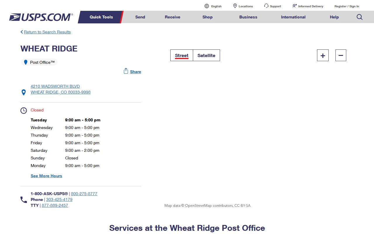
The post-office capture makes 80033 concrete without turning a postal facility into a civil boundary or household list.
Note: City Hall uses 80033, while Wheat Ridge Library uses 80212, so one city can contain more than one postal value.
Wheat Ridge ZIP Records for 80034
USPS's 2025 Postal Bulletin also lists 80034 with the Wheat Ridge labeling name. The research did not expose a complete street-by-street range, a separate current retail station, or a dated ZIP realignment history. That gap should stay visible. Use 80034 as a real Wheat Ridge-serving destination value, then verify an exact address in the live USPS tool before using it to narrow a parcel or name search.
A destination ZIP can cross a civil line or share a routing label with more than one municipality. When the values seem to conflict, preserve the postal label and the civil parcel result side by side. The county assessor, GIS parcel, subdivision plat, and city boundary or annexation material answer different geographic questions.
The 2025 USPS Postal Bulletin is the source for the 80033 and 80034 destination labels. Its capture below belongs in the postal workflow as a dated reference, not a live boundary map.
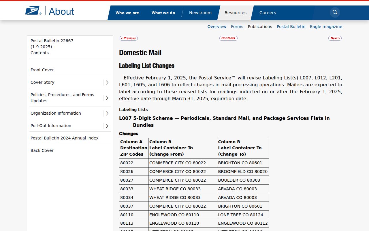
This bulletin image records the postal-label evidence. It does not supply every street range, so a full-address USPS query remains the final test.
Wheat Ridge Assessor ZIP Search
Jefferson County's Assessor is the best local parcel companion to the postal workflow. Address mode requires city and postal-code selections and includes WHEAT RIDGE, 80033, and 80034 among the observed options. Sales mode can filter by postal code, city, neighborhood, subdivision, property type, year built, sale date, sale amount, acreage, gross area, and distance. Owner mode returns postal code and supports export, but none of these modes is a dedicated ZIP-wide people roll.
| ZIP-capable field | Postal Code dropdown in address mode; 80033 and 80034 appeared as relevant Wheat Ridge values. |
|---|---|
| Location fields | City, address number, direction, street name, street type, and unit. |
| Sales filters | City, ZIP, neighborhood, subdivision, property type, year built, sale date and amount, area, acres, and distance. |
| Result fields | Address, city, postal code, PIN, AIN, TAG, owner, class, mailing address, and sales details where available. |
The Assessor sales search shows how a ZIP can narrow property history. The image below is a ZIP-capable county search, not a list of residents.
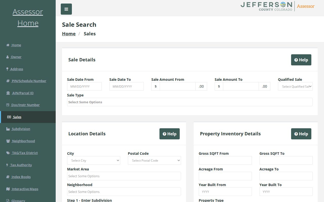
Use the sales result to find a parcel and document number, then move to the recorder or street page when the question shifts to a specific address.
Wheat Ridge ZIP Is Not a Roll
A postal directory can group postal destinations, but it cannot supply a complete list of people. Colorado's voter lookup is an individual first-name, last-name, ZIP, and birthday match. A full voter file or election extract follows a different request and fee channel, with confidential records withheld. The Assessor lists property owners and mailing fields, not every person at the parcel. A commercial people-finder report can mix old addresses and same-name records.
Use a ZIP as a narrowing clue, then move to the street, parcel, legal description, or named person. If the question concerns a block, request the proper county or state election data rather than reconstructing a protected address from a public parcel card. If the question concerns a former household, ZIP fields are usually irrelevant because historical directories predate modern postal coding.
The Assessor tax-district mode adds another layer of place information. It can show tax authority and district connections, but a district is not a roster of all Wheat Ridge residents.
See the Assessor tax-district search mode for the public filter path.
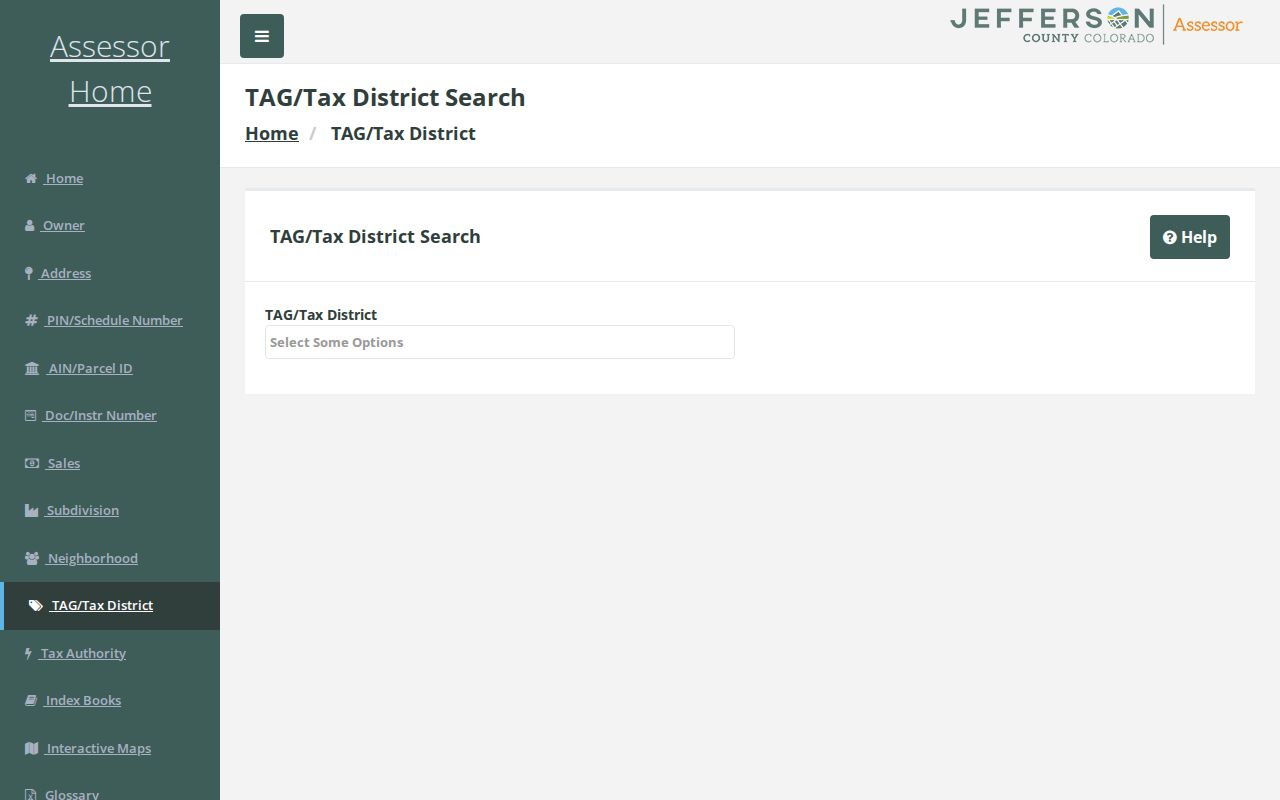
This tax-district image shows why local geography has several layers. A district or authority value needs the parcel and city context beside it.
Wheat Ridge ZIP Records and Library 80212
Wheat Ridge Library uses 5475 W. 32nd Avenue, Wheat Ridge, CO 80212, while City Hall uses 80033. That is a concrete local example of postal geography differing from a city name. The library address does not mean 80212 is a Wheat Ridge civil ZIP or that every address in the city uses it. It means a city institution can carry a nearby postal value.
Use this clue when a directory, form, or public record returns 80212, 80214, or 80215 near a Wheat Ridge name. Verify the full address with USPS, then check the Assessor City field and parcel polygon. Keep the returned postal value rather than silently changing it to 80033. The correction preserves the source trail and can explain why a name search missed on its first pass.
Wheat Ridge ZIP and City Limits
A ZIP is a delivery geography. Wheat Ridge's civil boundary, Jefferson County parcel layer, annexation material, subdivision plat, and neighborhood areas are government or land systems. A postal city label may reach across a civil boundary, and a ZIP may contain more than one municipality or routing label. The postal directory should name both systems instead of treating one as an error.
- ZIP code
- A postal routing value used by USPS for delivery and sorting.
- ZIP plus 4
- An extended postal code that narrows a delivery route beyond the five-digit value.
- PO-box or unique ZIP
- A value assigned for a postal facility or specialized destination rather than a normal street-area pattern.
- Carrier route
- A delivery sequence inside a postal system, not a civil parcel boundary.
For a conflicting address, verify USPS first, then GIS municipality and parcel, then the Assessor City field, and finally the legal description for deed work. Preserve postal city and civil city in separate notes.
Historic Wheat Ridge ZIP Workarounds
Most historical Wheat Ridge records predate the ZIP code. A householder or criss-cross directory is the earlier address-to-occupant substitute. Denver Public Library's reference run reaches 1924 to 2018, with a digital 1924 to 1937 portion. The suburban Polk leads for 1969, 1970, 1971, 1975, and 1976 can connect names, occupations, addresses, and street guides. Before incorporation, search Jefferson County, rural-route, Berkeley, school, farm, orchard, and nearby-city labels.
Newspapers, Crown Hill, census schedules, deeds, permits, and obituaries can then confirm the time and place. A historical postal page should never push a modern postal value backward into an old volume. Use street number, street name, lot, block, and local institution instead.
Wheat Ridge ZIP Research Chain
A sound postal result keeps the postal step short and the parcel step explicit. The sequence below protects against the common mistake of treating a ZIP as a city or person boundary.
- Run the full street address through USPS and save the returned postal city and ZIP.
- Compare the address with Jefferson County GIS and note the civil parcel, county, and adjacent lots.
- Search the Assessor with city and postal code, then save the PIN, AIN, situs, mailing, owner, and class fields.
- Use the recorder, city archive, or permit portal when a document or date matters, keeping the postal value unchanged.
- For an older person or address, switch to the city directory, criss-cross, newspaper, cemetery, and census trail.
The exact USPS street-range boundary for 80033 and 80034, a USPS GIS layer, and a dated split history were not located in the research capture. That is a reason to verify a specific address, not a reason to invent a map. The Wheat Ridge postal directory is most reliable when its gap notes stay visible.